the missing leg….
Yeah, the missing leg……………
Of the journey.
Just realized that I totally missed the leg of the journey from Vegas to home.
When we left Vegas I looked at rotinipoker.wordpress.com (R.P.) and asked which way to go home. There are a number of routes available from Vegas back to the Pacific Northwest, some longer, some more scenic, almost all of the more desolate than any other. We have driven almost all of them….however one route and town name jump out at me. We have never been there or on that particular highway…..
Highway 93 to Nevada 375…Yep, The Extraterrestrial Highway to the town of Rachel, the black mailbox, back gate road, Area 51. Where the conspiracy theorists have painted pictures of governmental wrongdoing and alien technologies all protected by the infamous “Camo Dudes”; Where movies about aliens have been filmed (Independence Day).
Like most of Nevada, this landscape is pretty impressive in it’s desolate and deserted context. You travel north out of Las Vegas, either on Interstate 15 or if you are more adventurous, Las Vegas Boulevard (highway 91) actually parallels I-15. You take the exit for highway 93, The Great Basin Highway, and head out into the desert. There is a Love’s Truck Stop at the exit and if you didn’t fill up on fuel in town you should probably do it here. There is fuel (gas and diesel) at the town of Alamo on the way but there is nothing after that until you get to Tonopah if you are continuing past Rachel.
On highway 93 is the Pahranagat national Wildlife Refuge (only open on the weekends, we were there on a Wednesday) which is basically the start of a long green valley in the middle of the wasteland. Unlike most of our stops at parks and refuges, we did not hike in this one. You follow this beautiful green slash to Nevada 375 and turn into the teeth of a pass between Mount Irish and Badger Mountain.
You now enter the most foreign terrain on the Nevada landscape.
![20150930_132756[1]](https://bigfokkerdog.files.wordpress.com/2015/10/20150930_1327561.jpg) This area is enclosed/surrounded by long north/south running mountain ranges that look like some giant saw ripping through the landscape, splitting the state into sections of long dry desert pans. They bill highway 50 in the north as “the Loneliest Highway” but this one too is lonely. I think that many of the highways in Nevada are lonely, they are sparsely travelled and go through some very forbidding terrain. One definite sign of how desolate it is in most of Nevada is the infamous “open range” sign that you encounter…
This area is enclosed/surrounded by long north/south running mountain ranges that look like some giant saw ripping through the landscape, splitting the state into sections of long dry desert pans. They bill highway 50 in the north as “the Loneliest Highway” but this one too is lonely. I think that many of the highways in Nevada are lonely, they are sparsely travelled and go through some very forbidding terrain. One definite sign of how desolate it is in most of Nevada is the infamous “open range” sign that you encounter…
![20150930_140555[1]](https://bigfokkerdog.files.wordpress.com/2015/10/20150930_1405551.jpg) This sign means just what it says. You pass over the cattle guards and are into the lands of the old cattle barons of the late 1800’s land managed by letting the cows roam and hunt for their own feed until it’s time for roundup.
This sign means just what it says. You pass over the cattle guards and are into the lands of the old cattle barons of the late 1800’s land managed by letting the cows roam and hunt for their own feed until it’s time for roundup.
Anyway, we pass a number of dirt roads leading off the highway and look at them on our GPS, wondering where they go. Many seem to go nowhere, yet we see dust plumes from vehicles way in the distance. We see a random building here and there in the distance as well. I understand why many people think of conspiracies when driving through here or looking at this area on a map. It’s pretty easy to imagine that there are aliens here somewhere, or possibly just nuts behind every rock outcropping. We saw no one else on the drive to Rachel, we pulled off the road at the site of the infamous “black mailbox” (now white) where there is a kind of shrine built by persons unknown.
![20150930_121559[1]](https://bigfokkerdog.files.wordpress.com/2015/10/20150930_1215591.jpg)
The dirt road here leads across the desert and into the hills beyond an it is a maintained dirt road.

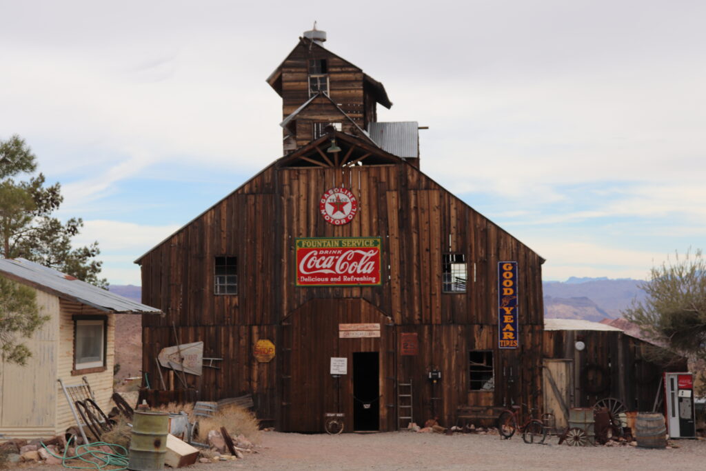
We crest a hill and come down into the town of Rachel. There are no services here. The Little Ale’Inn is there and looks cool.
![20150930_123527[1]](https://bigfokkerdog.files.wordpress.com/2015/10/20150930_1235271.jpg)
![20150930_124541[1]](https://bigfokkerdog.files.wordpress.com/2015/10/20150930_1245411.jpg)
![20150930_124606[1]](https://bigfokkerdog.files.wordpress.com/2015/10/20150930_1246061.jpg)
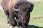
The folks here have a lot of themed items for the tourists who find themselves out here. They do run a kitchen and sell some themed beers. It’s a long drive to Reno from here and I abstain from the beers. We have a coke and support the economy by buying postcards. We then point The Beast northwest toward the “town” of Warm Springs where we join Highway 6 into Tonopah. We are again warned by the locals about the open range cows. We have gotten this warning a number of times in Nevada. The locals all say to watch out for them and not to honk at them as they will actually charge and damage your vehicle. Well lo and behold, the cows appeared as if by magic. I could see many cows moving across the pans as we drove through, all seemed to be heading North. I figured we would encounter them eventually and I was right.
![20150930_132524[1]](https://bigfokkerdog.files.wordpress.com/2015/10/20150930_1325241.jpg) They seemed nonchalant as they passed in front of a stopped Beast. Until one crossed and stopped to stare me down. I don’t know if he was so used to traffic that he was unafraid, wondering what the big rumbling Beast was, or possibly challenging me to advance on him (there are some very specific laws in marked open range country).
They seemed nonchalant as they passed in front of a stopped Beast. Until one crossed and stopped to stare me down. I don’t know if he was so used to traffic that he was unafraid, wondering what the big rumbling Beast was, or possibly challenging me to advance on him (there are some very specific laws in marked open range country).

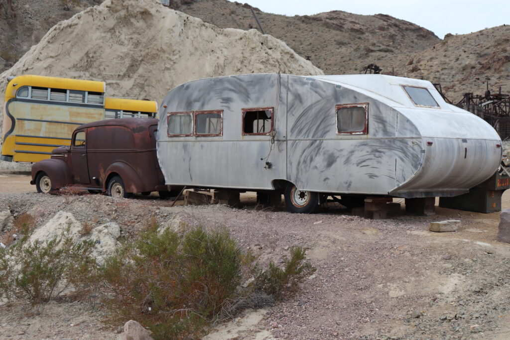
We made it past the challenge and eventually came to the “town” of Warm Springs. It is marked on the map as a small town with no services at a highway junction. This is an abandoned place. There is nothing there but crumbling buildings. You see an old corral and the pool from the highway. It is hung with all sorts of private property/no trespassing signs. The history is available online with a simple Google Search. I do wonder who the last folks to build the restaurant and house were and why their dreams died…R.P. and I do that as we travel. We see an abandoned place and wonder why it is abandoned, what happened to the hopes and dreams of the folks that built it or last occupied it?
Anyway, on to Tonopah. This mining town in the middle of Nevada is still active(half abandoned though) thanks to a still producing mine and the aircraft development/testing facility. They have changed the town sign to announce the fact that they were the town that “is the birthplace of Stealth”. We ate at the Tonopah Brewing Company. They make a pretty darn good Rueben and they brew not only alcoholic beers with good flavors but a really good Root Beer. The town is usually a fuel maintenance stop on the off road rally from Las Vegas to Reno each year, but we were told that in 2016 the rally is stopping for an overnight in Tonopah. What a huge infusion of life this will bring to a dusty sleepy half ghost town.
We left Tonopah and could see the storm clouds to the Northwest, Rain in Reno.
The rest of the trip is kind of an also run, as we have travelled it so very many times in the last 13 years. Through Hawthorne (naval weapons testing facility on a lake in the middle of Nevada?), Fallon (Naval air station?), into Reno for an overnight in a 24 dollar suite at the Grand Sierra Resort (the rest was comped by the casino for us). Up Through Susanville and onto Interstate 5 north to the town of Cottage Grove for a night at the Village Green Inn (great getaway package deal includes dinner for two, bottle of wine and standard hotel free breakfast) and on into home.
I posted elsewhere the final mileage of 4,750 miles on the Beast’s trip meter.
More to come later, I will do a couple hotel reviews and more travel stuff from this trip.
Join our journey….
BFD