A day at Mount St. Helens
E and I decided that a day in nature was in order. A rare fall day with no precipitation in the forecast and we were off work so we decided to get out into nature!
Where were you on May 18, 1980? I was living in Eastern Washington in a little town named Chewelah. I was looking forward to my birthday in 4 days and we were having a family day on our small farm, tilling the ground, planting and looking forward to a gathering of friends. We weren’t listening to any radio and first heard of the incident when the neighbor came by to tell us the ash cloud was headed our way. We wound up with a foot of the stuff on our garden.
We had journeyed a couple of times to St. Helens since the eruption, once to Johnston ridge on our motorcycles and once in wintertime to the Hummocks trail. There are a number of trails within the National monument and a pre-trip planning session is worth its weight in gold. There are a lot of trails, some very technical or difficult and there is always the question of “do we want to hike to the summit?”. This is a National Monument so a day fee is charged. We choose to purchase the America The Beautiful National Park pass because we definitely get our money’s worth out of it since it is an interagency pass and is accepted at all national parks/monuments and forest service areas. You also get entry into any of the forest service centers, discounts on purchases of souvenirs and the pass is mandatory for parking at trail heads. You can purchase the pass online, at a national park/monument or (our preference) at REI. REI doesn’t charge any fees on top of the pass cost and they donate 10% of the sale to the National Park Foundation. We think this is a win-win situation for everyone. Besides, REI has maps for every hiking opportunity and you just never know when you need a new piece of equipment!
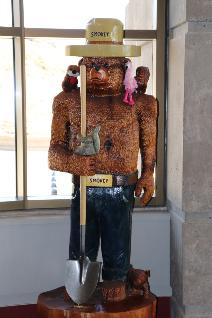
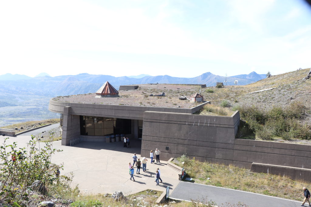
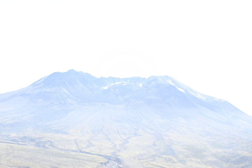
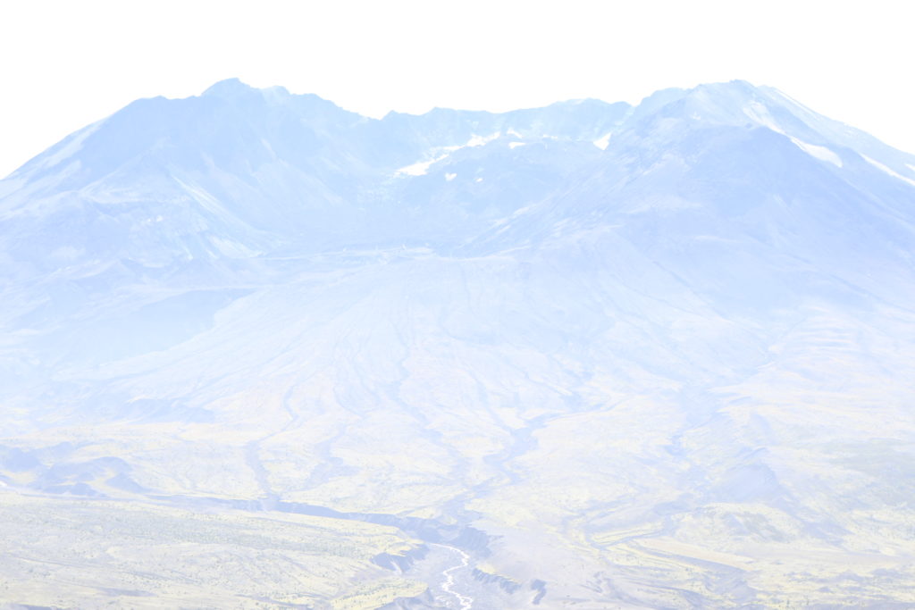
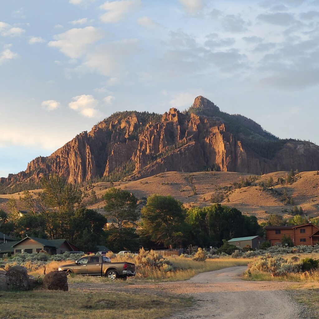
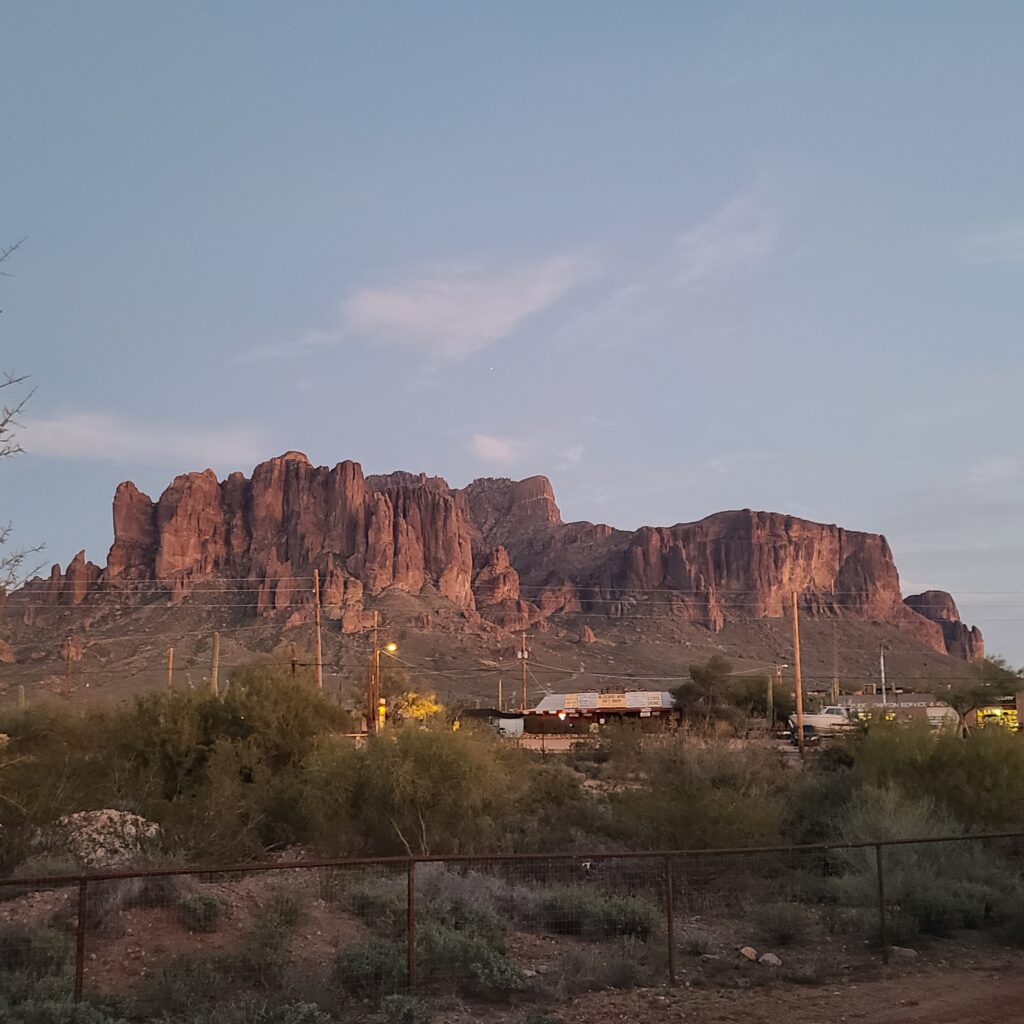
As we approached the monument there was a solid blanket of fog shrouding the area from outside view. The closer we got to the mountain the more the fog lifted until we were able to see the grand lady rising above the landscape. Our destination for this trip was the Johnston Ridge observatory. We parked in the lot (almost empty this lae in the season) and headed up to the visitors center where we got our armbands from the cashier and caught a Ranger led class on the history of the 1980 eruption. The class was full of photographs of the eruption event and good information along with a great Q&A session with the ranger.
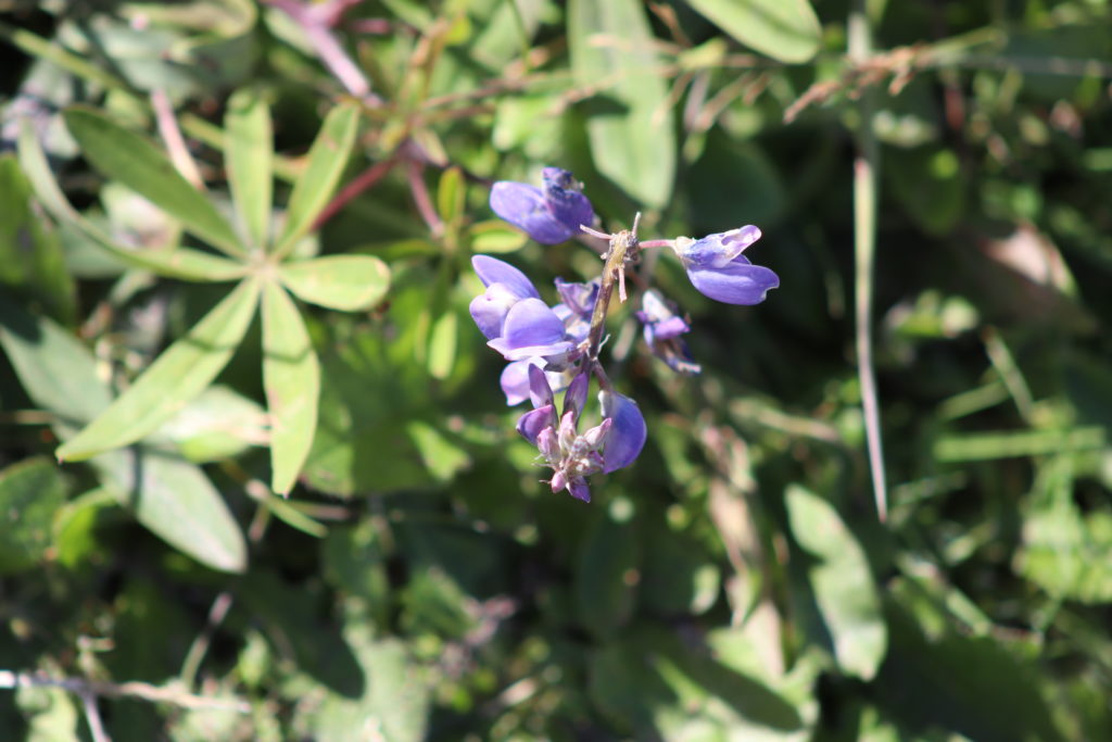
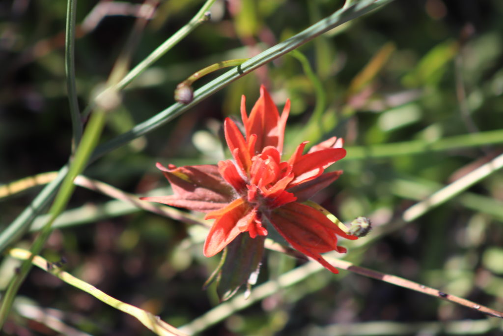
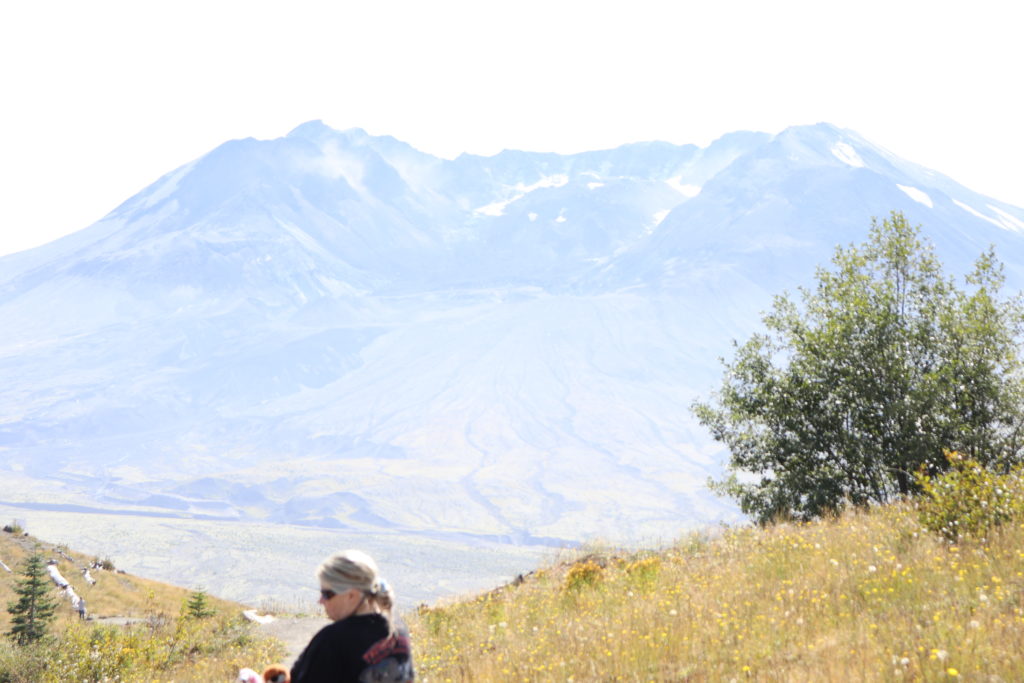
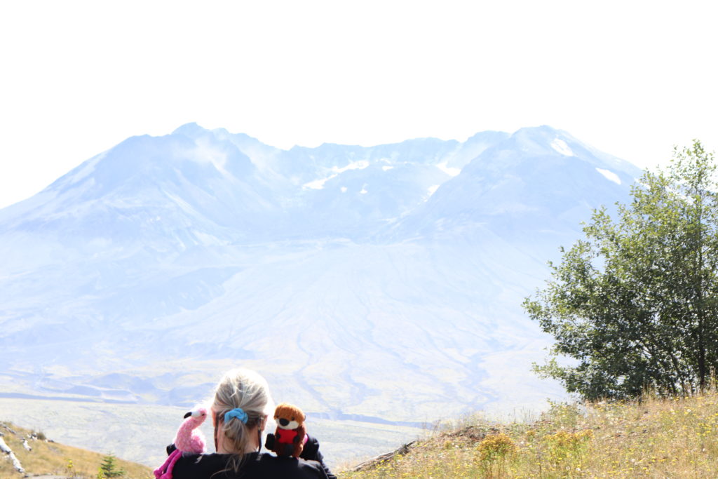
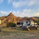
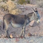
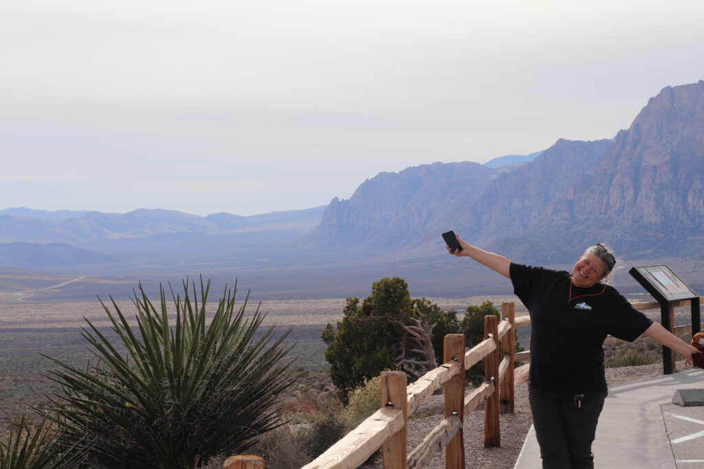
Prepared with our normal hiking gear along with the new addition of BFDs’ new camera, we head off on the Boundary Trail to stretch our legs. We had no intention of completing the 28.6 mile round trip of the Boundary West trail but definitely wanted to get a couple miles closer to the crater. Along the Boundary Trail there is a great memorial to the folks who lost their lives as a result of the eruption in 1980, a pause here for a photo and to say a silent prayer for those souls is definitely a must for me. Further along the trail we see that life is definitely renewed here, evidenced by the wildflowers, grasshoppers, birds and hundreds of Elk tracks along and crossing the trail.
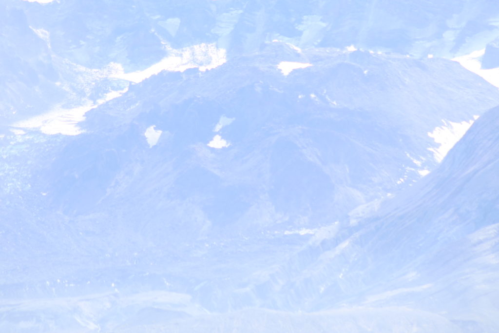
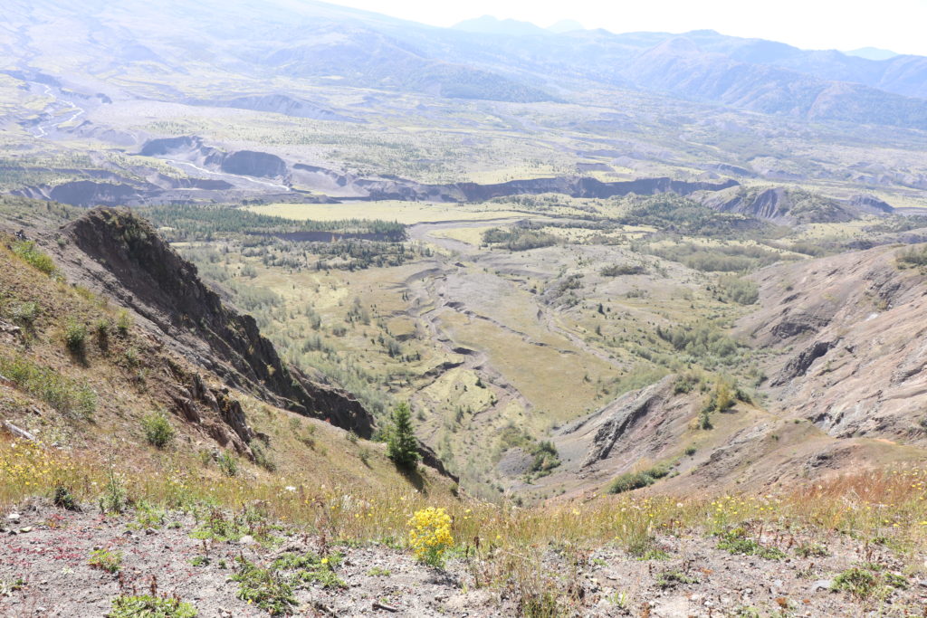
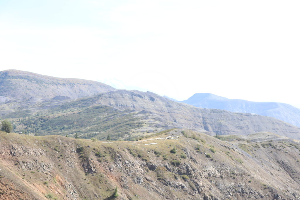
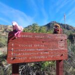
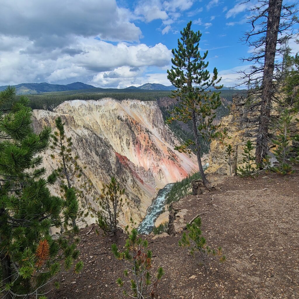
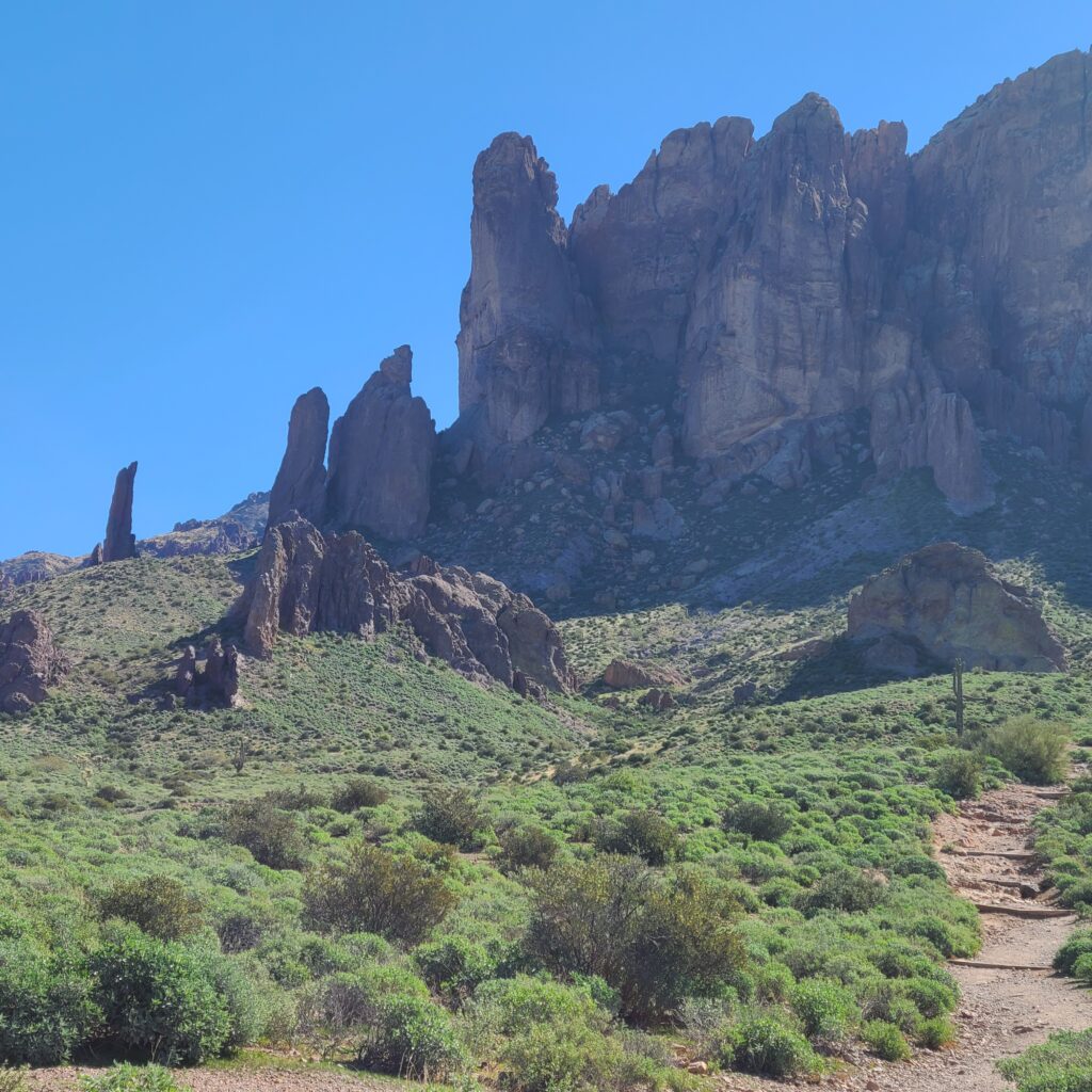
We walked approximately one mile out to a great overlook where we could see down to Spirit Lake and into the crater. The hike is listed as a hard hike but that first mile is definitely doable by your average person without major disability. There are plenty of photo opportunities along the trail and you definitely get a clear vision of the scouring that happened during the iconoclastic explosion. This area was covered with old growth forest prior to 1980 and even today shows you what happens when some of the greatest power in or on earth decides to wipe the slate clean.
As usual on a hike of this difficulty, there were the normal folks. Some with trekking poles and backpacks (obviously heading deep into the park), families with kids hanging out at the beginning of the trail, couples festooned with camera gear and those hated (by us old people) 20-somethings with no body fat. Obviously this national monument can be enjoyed by all with the exception of your dog/cat. There are special rules in the blast zone that ask hikers to leave their dogs at home, stay on the trails and pick up a permit for hiking/backpacking to the summit/rim.
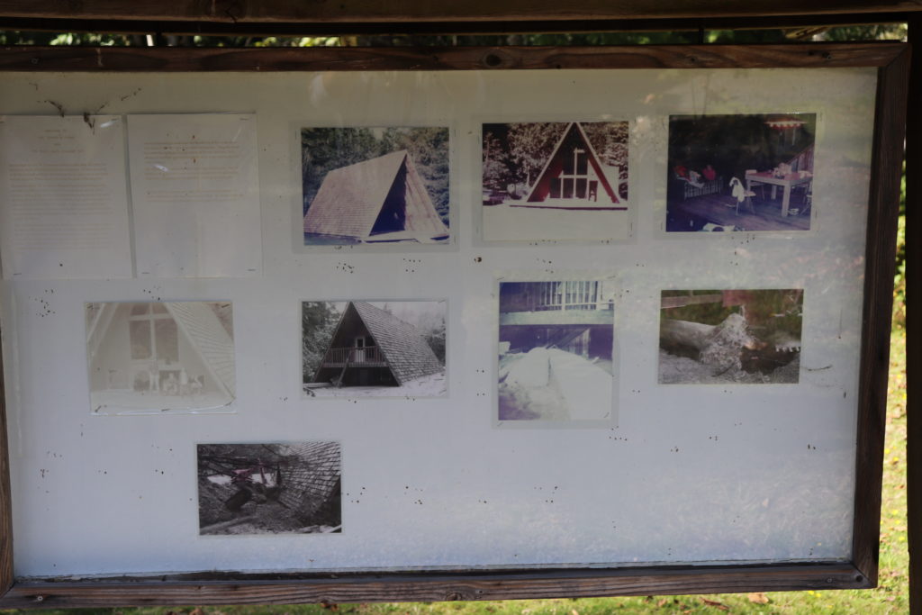
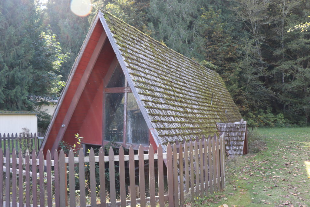
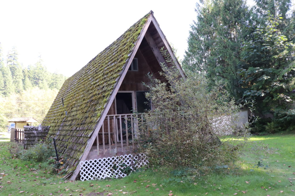
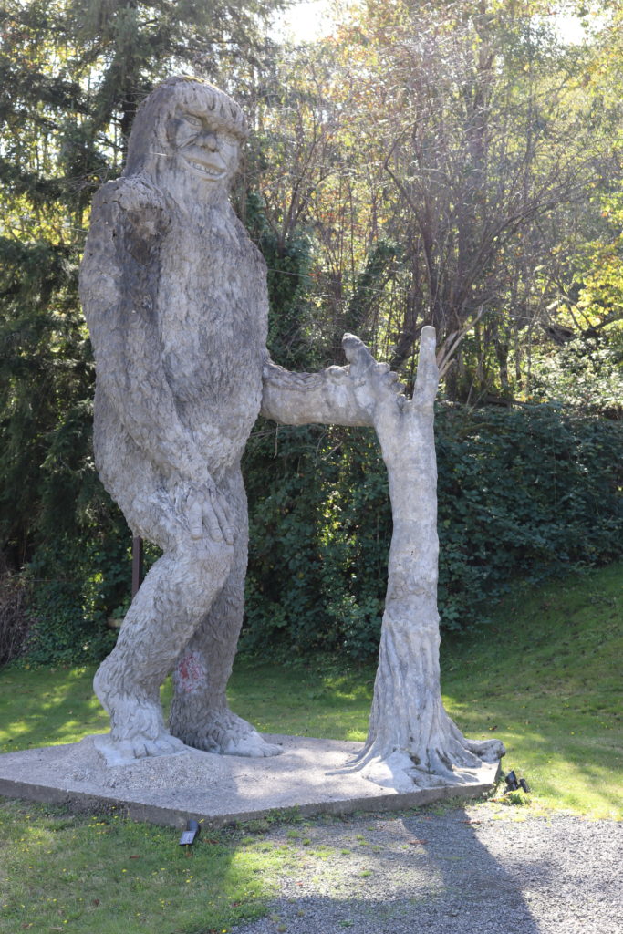
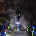
After driving back down the mountain, we decided to stop at the buried house and bigfoot at Kid Valley. The A-Frame was buried in the mud flow and the home owners had never gotten a chance to live in it. there was a tour through this house at one time but it is now too dangerous to enter.
As always, just get out there! You don’t have to travel to faraway lands to have an adventure and you don’t have to have thousands of dollars in tech gear to be able to enjoy the outdoors…Just Go Outside!
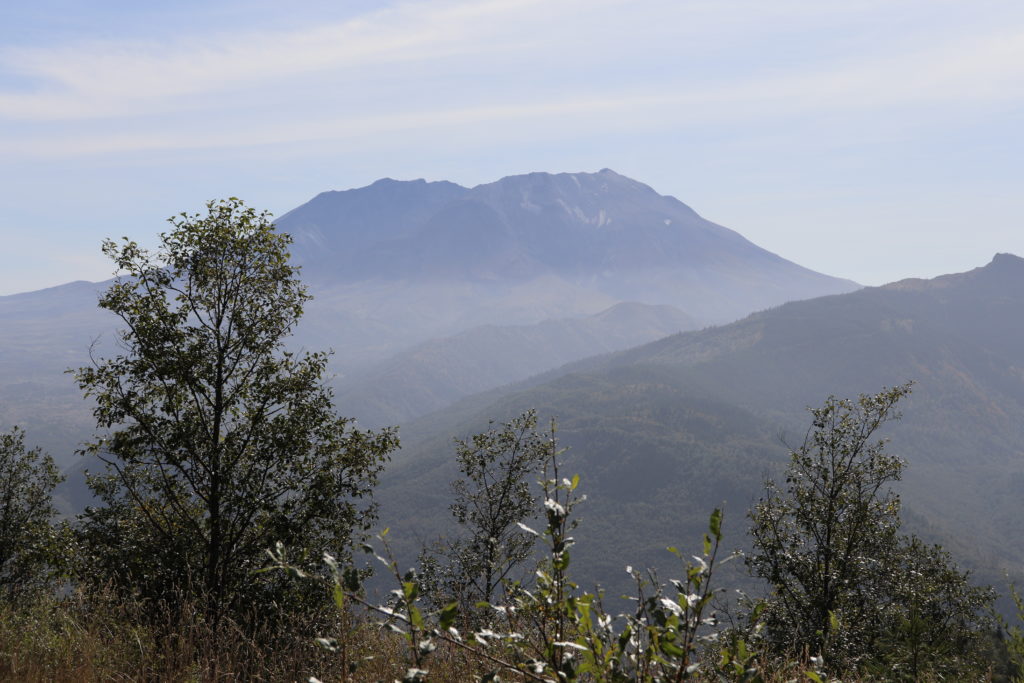
first sighting 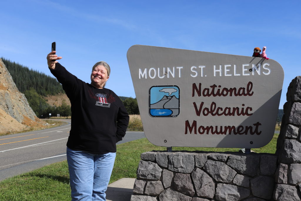
park entry 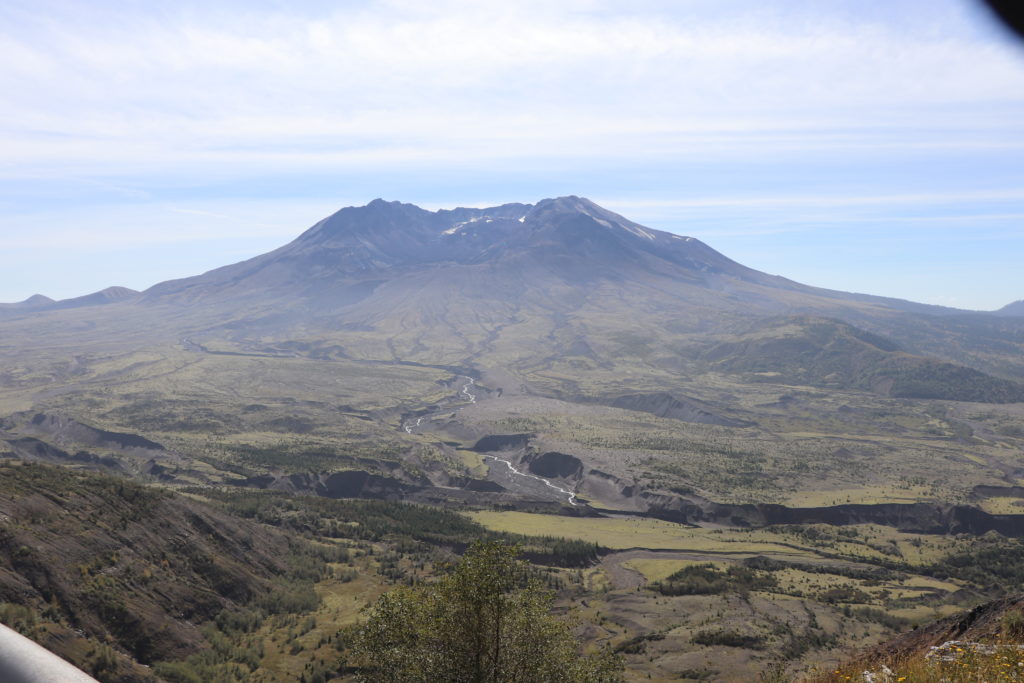
across the hummocks
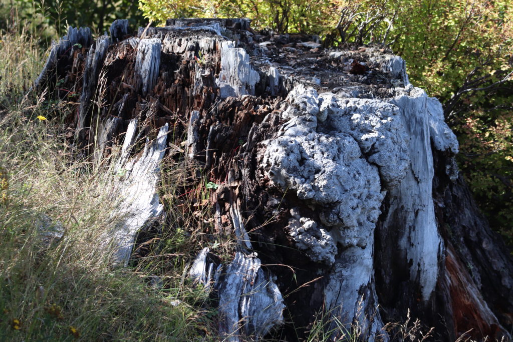
pre-blast stump
the observatory 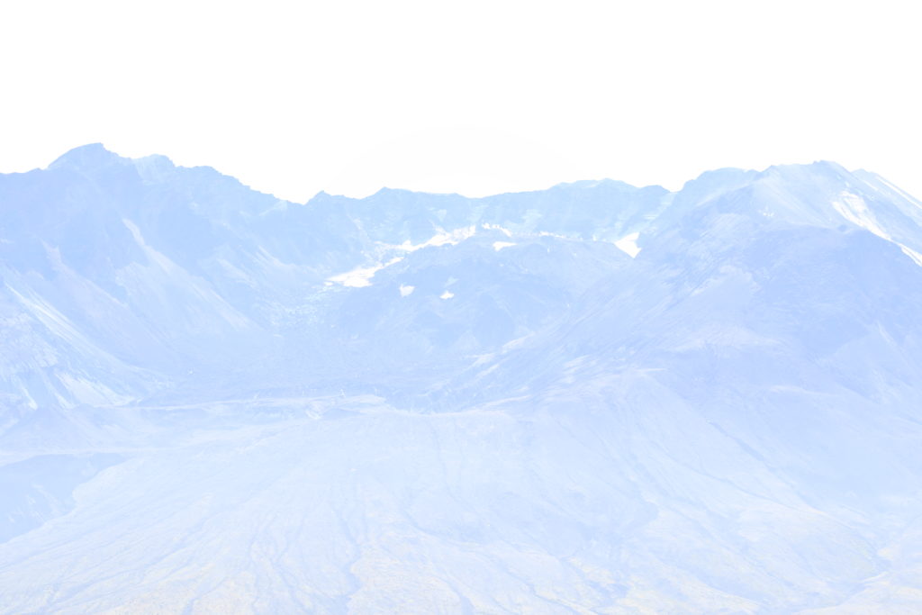
lava dome 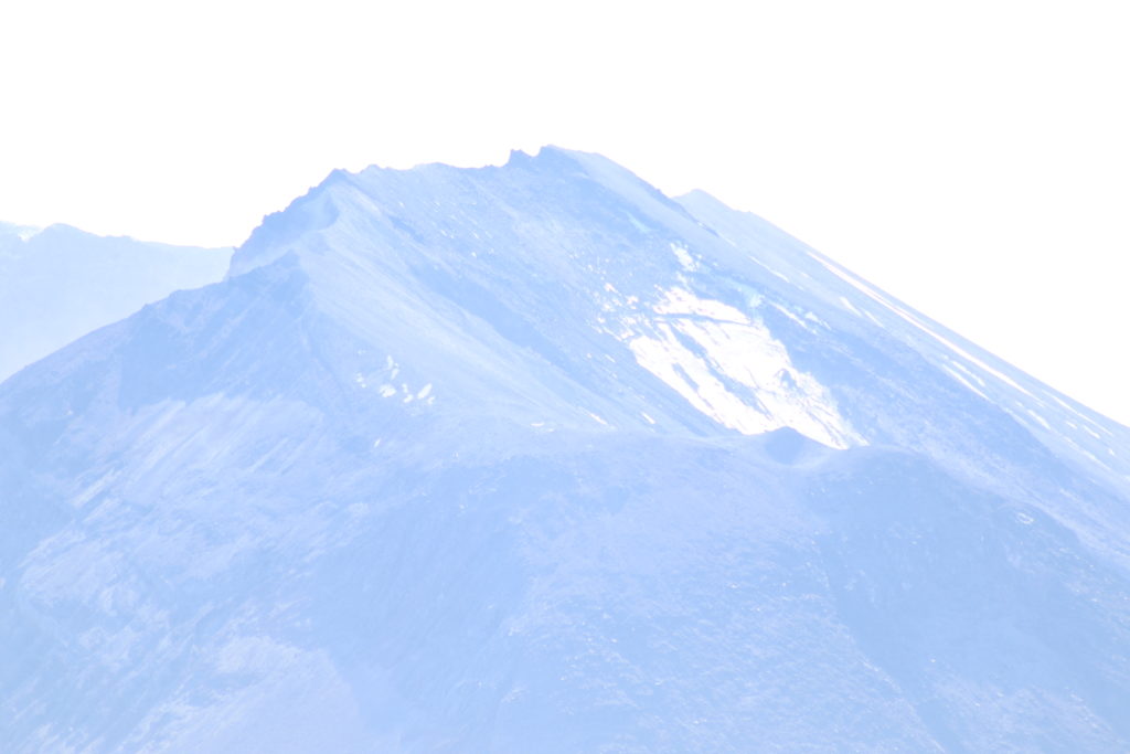
there once was a forest here


Thanks for the pictures. I used to hunt up there before the blast. I haven’t been to the new post eruption site and think it bares visiting.
Love your stories and pictures!